Skip to content
About
Products
Bundles
Basic Data Package
Premium Data Package
Datasets
Assets, Debts, & Net Worth
BusinessCounts
Consumer Expenditures (CEX)
CrimeRisk
Database of Chronic Health & Risk Factors
Demographic & Business Dimensions
Environmental Risk & Terrain Data
Estimates & Projections
Healthcare Demand & Utilization
MRI Consumer Behavior Profiles
Non-Resident Population Data
Panorama
Quality of Life Index
Religious Affiliation Data
Retail Potential
Snapshot API
Freeway
Industries
Healthcare
Real Estate
Restaurants
Retail
Supermarkets
Coverage Areas
Canada
United States
Puerto Rico
Mexico
Reseller Program
Resources
Blog
Contact
Blogs
Filter by category
Business Data
Canada Data
Census
City Series
Climate Data
Consumer Expenditures
Covid-19 and Data
CrimeRisk
Current Events
Data Releases
Database Overview
Demographics
Dimensions
Economic Development
Employment Data
Featured
Finance
Freeway
Geography
Healthcare
Holiday
Maps
Meet the AGS Team
Menger’s Musings
Methodology
Monthly Round-Ups
Non-Resident Population
Parcel Data
Partner Posts
Product Sneak Peek
Puerto Rico
Quality of Life
Real Estate
Religion Data
Retail Data
Site Selection
Snapshot API
Unemployment Data
Use Cases
Taking The Plunge: Why You Should Be Using the 2020 Geography Now
groupm7
07/14/2022
Census
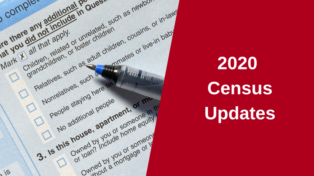
Continued Challenges for the 2020 Census
groupm7
06/02/2022
Census
Improved 2020 Census Geographies
groupm7
05/05/2022
Census
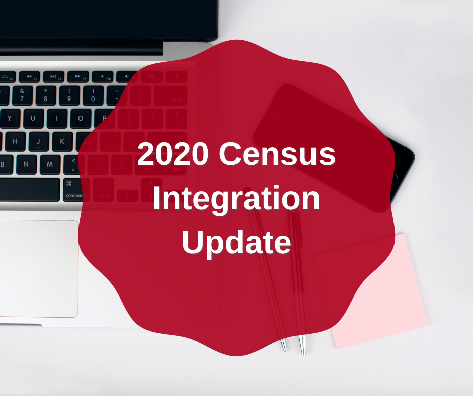
2020 Census Integration Plan Update
groupm7
04/07/2022
Census
Calling out the Crickets
groupm7
01/20/2022
Census
,
Menger's Musings
Race and the Census
groupm7
12/02/2021
Canada Data
,
Census
,
Menger's Musings
Deep Dive into 2020 Census Block Data
groupm7
11/04/2021
Census
Dealing with the 2020 Census
groupm7
10/07/2021
Census
,
Featured
Using 2020 Census Data
groupm7
09/16/2021
Census
Mermaids and Census Privacy Concerns
groupm7
09/02/2021
Census