Freeway
Trade Area Boundaries and Drive Time Models Made Easy
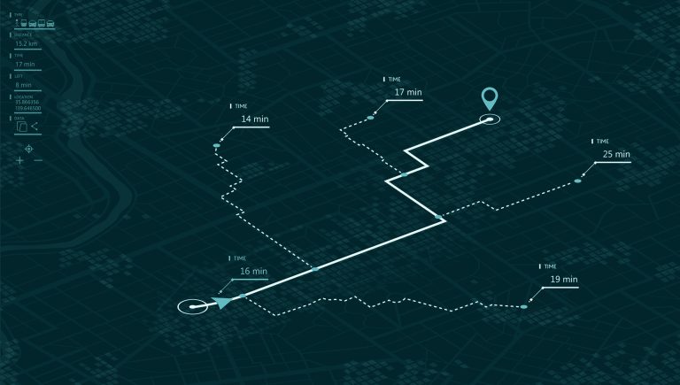
For nearly 25 years, Freeway has been the drive time engine trusted by retailers, developers, and data analysts for delineating trade areas and modeling travel-based market potential.
Whether you’re estimating retail cannibalization or analyzing site coverage, Freeway delivers the speed, flexibility, and format options professionals need.
Available via API, desktop, or command line interface, Freeway lets you create drive time and drive distance polygons, compute origin-destination tables, and integrate with AGS’s Snapshot reports for seamless demographic analysis.
Features
- Generate drive time or drive distance polygons in multiple formats (e.g., GeoJSON)
- Compute point-to-point travel times between multiple origins and destinations
- Aggregate multiple origin points into single unified coverage areas
- Integrated with Snapshot API for drive time–based demographic reports
- Offered as API, desktop app, and Windows command line tool for full flexibility
Built for These Industries
Retail & Franchise
Define real-world trade areas and assess competitive overlap using drive time rather than straight-line distance.
Real Estate & Development
Forecast high-traffic periods and adjust inventory, staffing, and hours in visitor-driven markets.
Healthcare & Public Services
Ensure service accessibility by modeling patient or client travel times to key facilities.
Transportation & Logistics
Plan hub-and-spoke distribution strategies or emergency response windows based on real drive time data.
GIS & Analytics Teams
Integrate high-performance drive time modeling into your existing tools and workflows via API or command line.
Methodology & Data Sources
Freeway uses high-performance, network-based routing algorithms to compute accurate drive time and drive distance polygons.
It supports one-to-one and one-to-many origin-destination calculations and can produce aggregate coverage polygons across multiple origin points with efficient performance. Freeway integrates cleanly into existing GIS systems and supports both batch and real-time use cases.
When used with the Snapshot API, Freeway enables instant generation of demographic reports based on true drive time catchment areas.
Delivery Formats
- API Access — Real-time drive time and drive distance outputs
- Windows Desktop App — User-friendly interface for single-user analysis
- Windows Command Line Tool — Power users and integration-ready
- Snapshot API Integration — Generate reports using drive time buffers
Documentation & Support
Every Freeway license includes full access to AGS technical support, documentation, and onboarding assistance. Whether you’re integrating into a custom tool or using our desktop app, AGS is here to help.