
After five and a half years of our newsletter, with about 250 issues published and hundreds of maps, we realize that we are frequently but inadvertently showing our biases on what places we should map. It’s not that we don’t like Columbus, Ohio. It’s a fine place. But to map it? Nah.
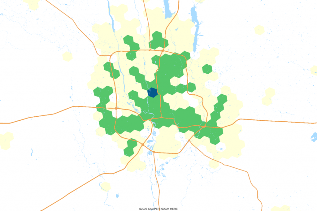
Why not? For most maps, we like places that are instantly recognized, no matter what data is being displayed. Let us demonstrate. Each of the maps to follow show H3 level 7 polygon population on the same breakpoints, major highways, and water.
We admit to not being great fans of New York, but we map it often:
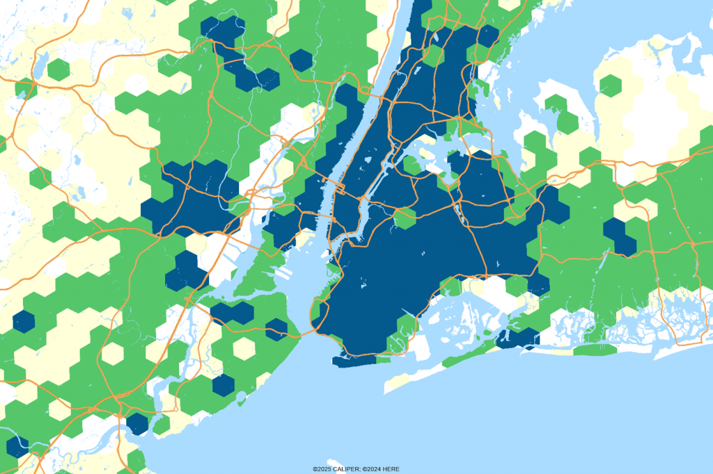
Immediately recognized, and with just the right amount of water. Los Angeles and San Francisco are the same. But we tend to avoid Chicago because there is too much water, especially if you allow the map to show the south side. Miami? Great place, but too linear:
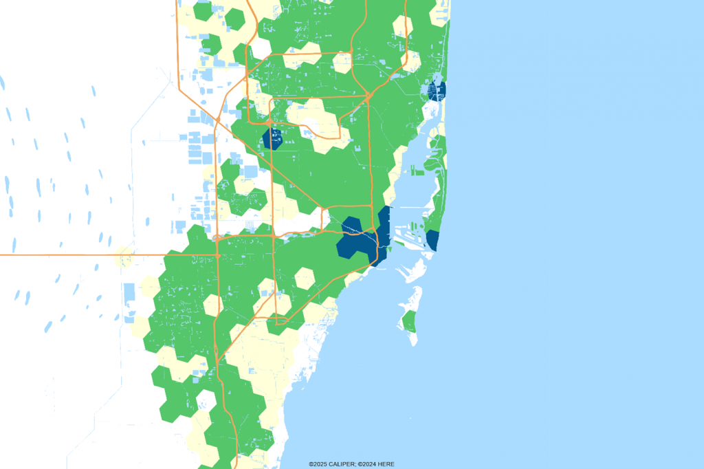
To get enough of the city, you have to show lots of water to the east and unpopulated swampland in the west. So, we have a clear preference for relatively rectangular cities on the coast. But they also must be large enough to be interesting, and some of our favorite coastal towns just don’t make that grade – Savannah, Charleston, Mobile. With smaller cities, it is just too hard to show enough variation across the map.
Some large inland cities have a distinctive shape – Austin comes to mind here, but it is too linear to look good on a map.
Other cities we tend to map often? Dallas-Fort Worth, Washington D.C., Nashville, TN, Los Angeles, CA and Kansas City, MO-KS. Why? We know them well having either lived there or visited way too often.
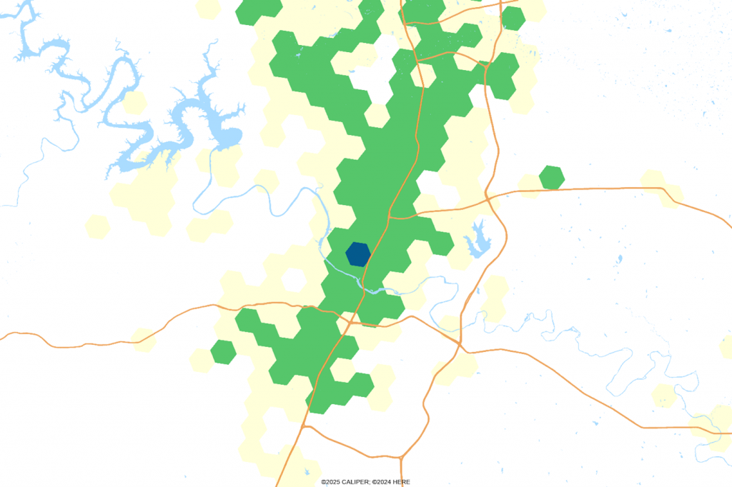
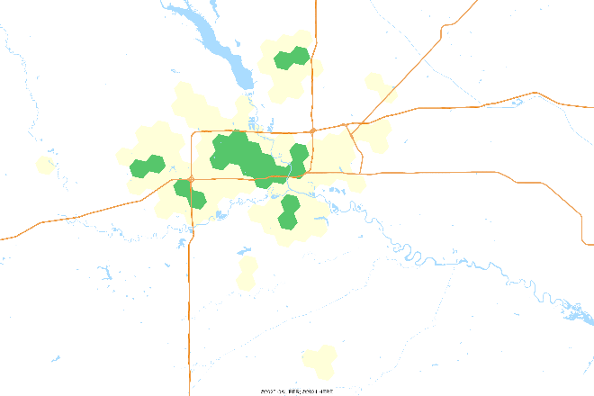
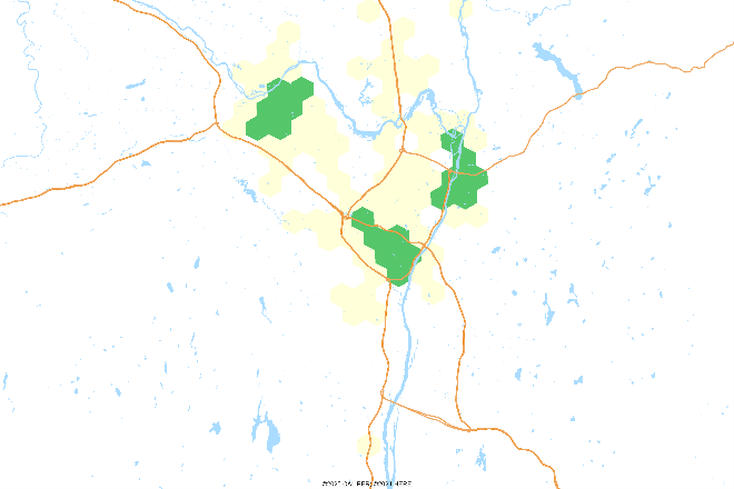
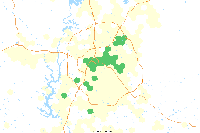
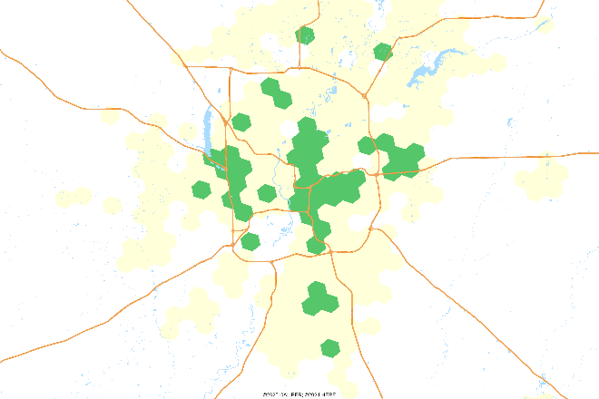
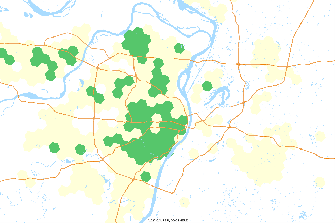
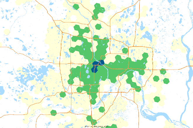
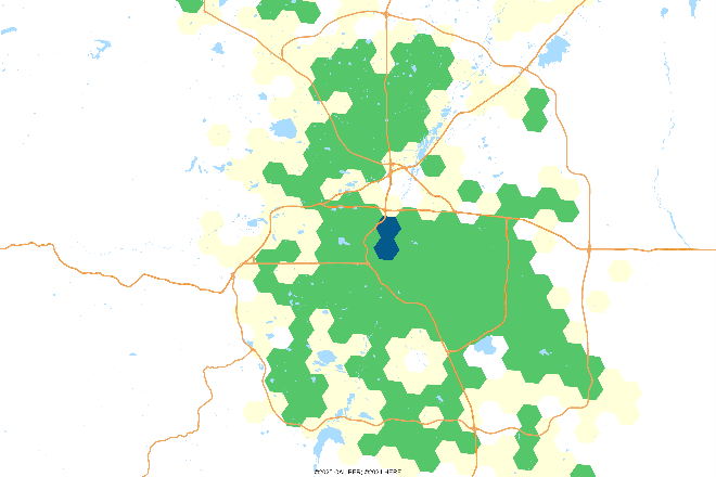
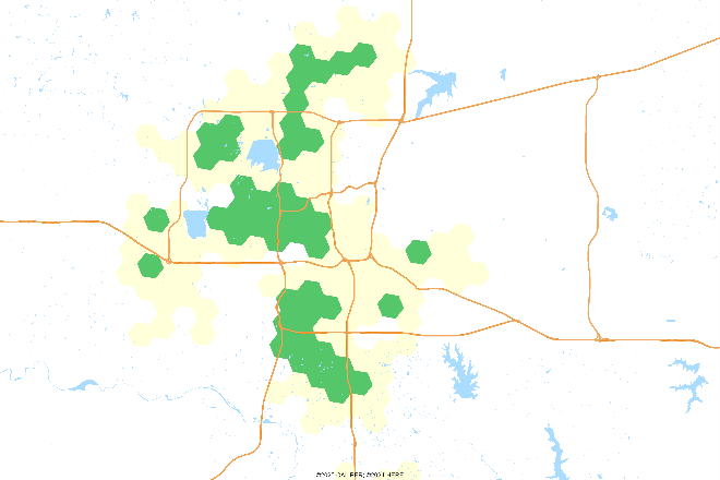
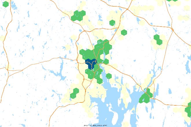
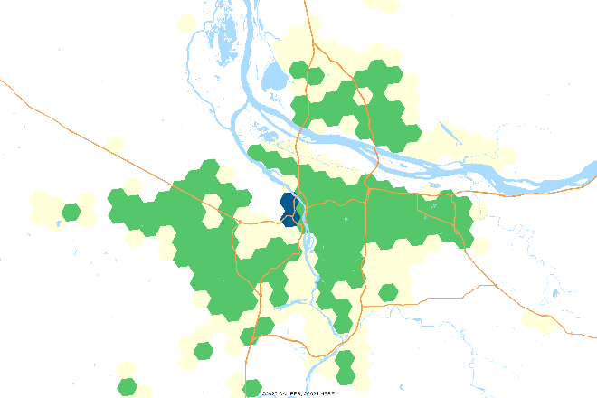
We figure that most users glance at the map and if something doesn’t catch their eye, they move on quickly. River oriented cities don’t often get the coverage they merit, so here we show a series of maps at the same scale. Can you name them?
Unless we are highlighting a particular place, we are likely to choose cities which:
- Are widely and instantly recognizable by shape
- Have enough water or unused space to allow for a legend easily, but not too much water
- Are large enough that we can show what we are trying to map
So, to the good people of our smallest county based statistical area, Pecos, TX, we offer the following map. Don’t say we never include you. Bonus points if you can name the two highways without googling it.

Answers?
1 Des Moines, IA
2 Albany, NY
3 Charlotte, NC
4 Indianapolis, IN
5 St. Louis, MO
6 Minneapolis – St. Paul, MN
7 Denver, CO
8 Oklahoma City, OK
9 Providence, RI
10 Portland, OR

Recent Comments