H3 Hexagon and Parcel Data
What’s new at AGS? Geography. Demographics will never be the same.
H3 HEXAGON LAYERS
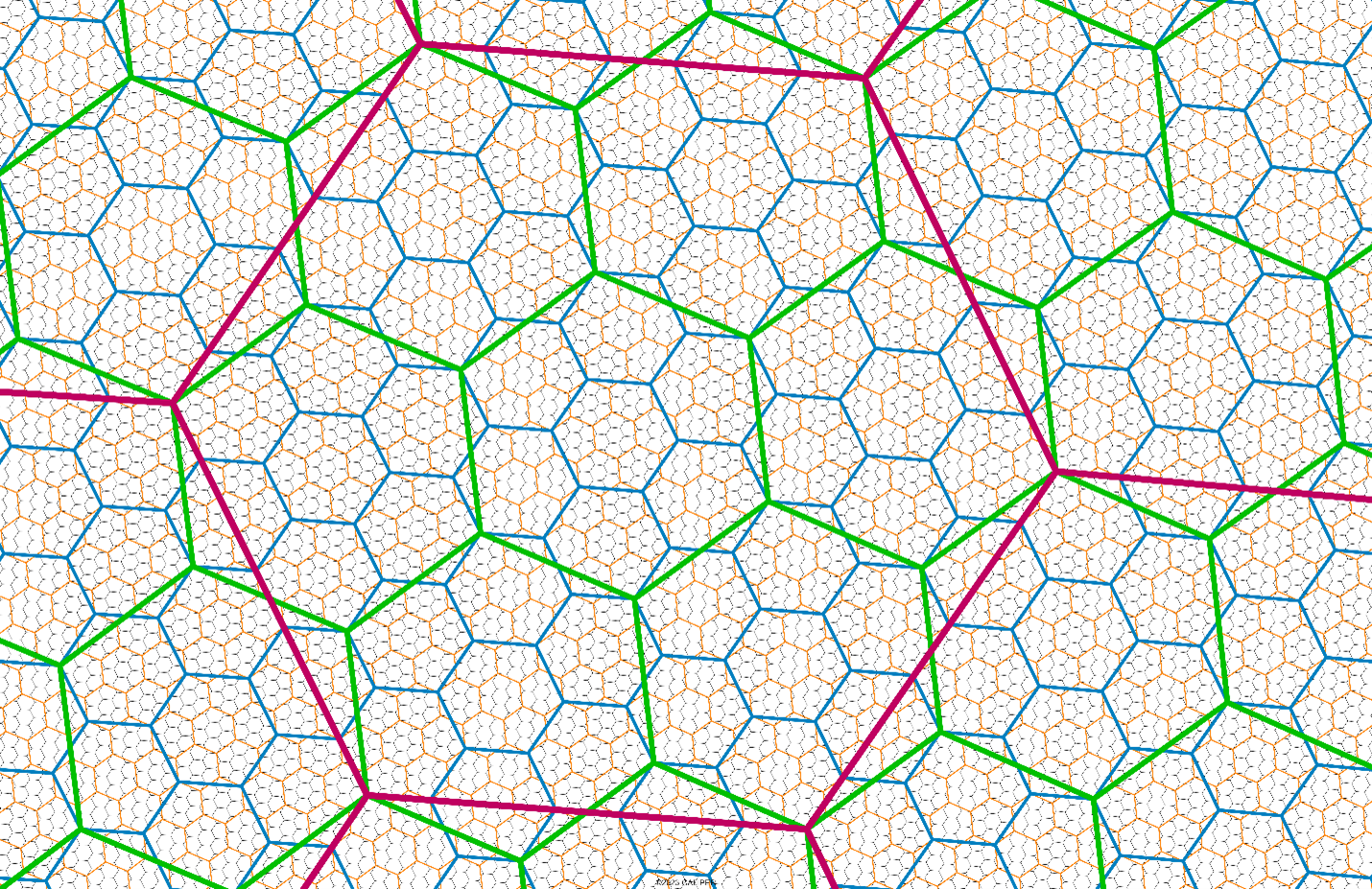
In addition to standard census and postal geography layers, the entire library of AGS data is now available using the popular Uber H3 hexagon spatial indexing system. For thematic mapping, hexagon grids offer unique advantages because of their consistent size and scalability. While the H3 indexing system has sixteen levels, we chose the most suitable of these for mapping demographics – levels 3 through 7 – allowing applications to seamlessly shift between national, regional, and local maps.

Any AGS variable list can be created for each of the five H3 layers, and dynamic mapping is provided via the Snapshot API.
Cartographic files are available in many standard GIS formats – including shapefile, Mapinfo TAB, Maptitude, and geojson. Two fields are provided for data manipulation – the GeoID which links to the AGS data library and via the Name field which is the hexadecimal encoding of the H3 index, permitting the seamless integration of the H3 library available in Python. For users wishing to link other data at the census block or block group levels, block to H3 allocation tables are also available.
ELEVATING DEMOGRAPHICS
Demographic estimates and projections will never be the same.
AGS has assembled a national parcel file, updated quarterly, which is being integrated into our already state-of-the-art demographic estimates and projections. By tracking changes in parcel geometry, ownership, and building characteristics, we are able to quickly and accurately build a hotspot database. Hotspots are then monitored using a broad variety of sources, including automated satellite imagery tracking, to determine the nature of change, and progress towards completion. Changes that we can track include:
- New housing developments, both single and multi-family
- Land use and zoning changes
- Areas with significant renovation and redevelopment
- Reductions in housing stock
AGS channel partners and end users will have access to parcel level data, enabling ownership queries on individual parcels and land use and zoning mapping through the following products:
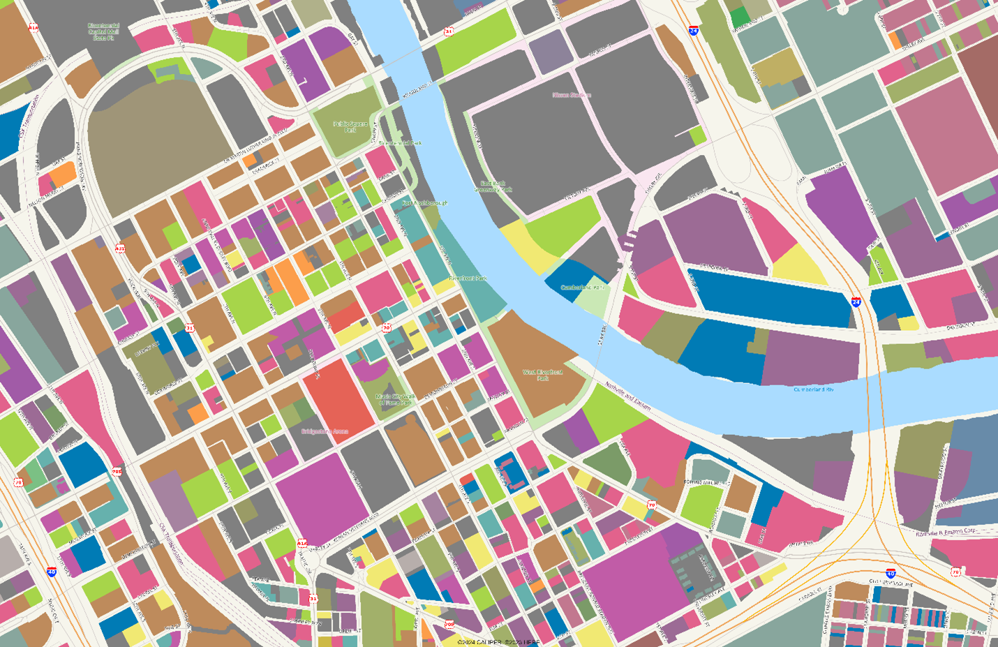
- Landbase, an aggregation of adjacent parcels with the same land use for use in trade area reference maps
- Zoningbase, an aggregation of adjacent parcels with the same zoning
- Parcelbase, consisting of well over 150 million parcels nationwide with address information and geographic encoding
- ParcelPlus, providing detailed access to property information that includes ownership, building characteristics, and land transfers
- Building Footprints, going well beyond what is available from open source databases.
Nashville, TN: Detailed Land Use

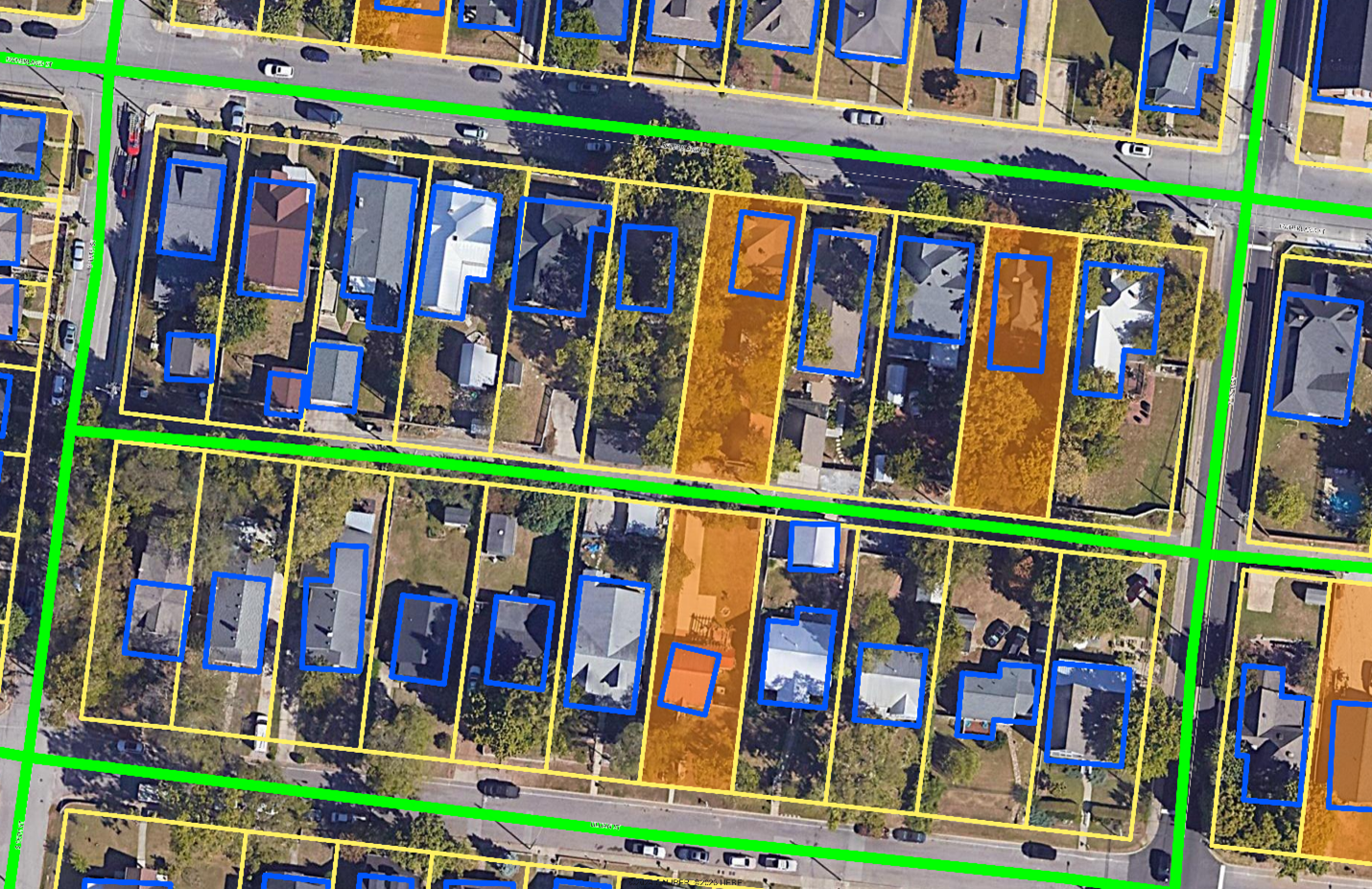
Nashville, TN: Absentee Ownership in Residential Area showing census blocks, parcel boundaries and building footprints

Get Started
Email us to find a reseller, or learn more about our data products.
