
For many years, AGS has published risk indexes for the four major damaging weather events – hurricanes, tornadoes, hail, and high winds. While hurricane damage is usually most extensive along the coast, hurricane damage vulnerability extends even as far inland as the upper Mississippi valley and the Great Lakes.
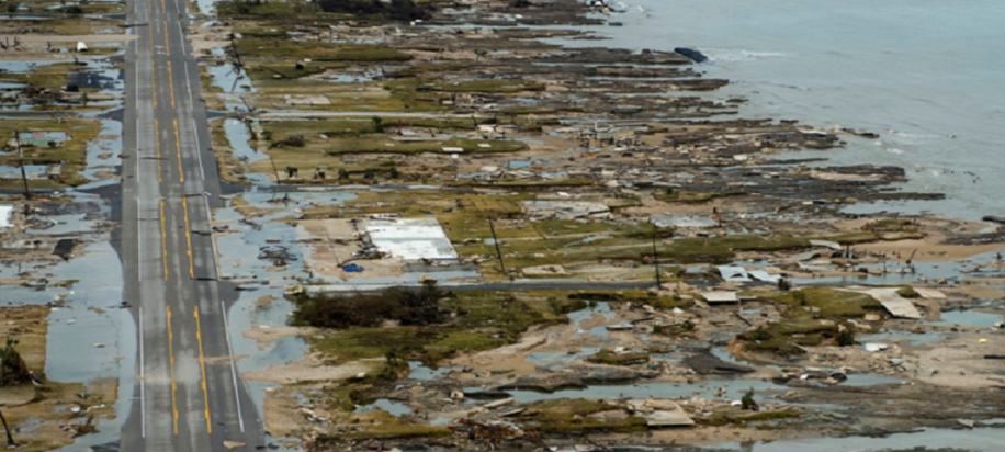
A natural extension of the dataset is to focus on those coast areas which are most vulnerable – those low-lying coast plains where damage from hurricane storm surges is often more significant than the damage from the winds and rain. The risk of a significant storm surge is dependent not only on the strength of the hurricane, but also the undersea topography and the time of day. Hurricanes which make landfall at high tide are likely to inflict greater coastal flooding. The storm surges from recent history make the risk clear – Katrina produced a 28’ storm surge as a Category 3 storm, while Irene caused extensive damage with an 11’ surge, despite being only a Category 1 storm at landfall.
The growth of both south Atlantic coastal areas (from Virginia to Florida) and the Gulf of Mexico (from Florida to Texas) over the last several decades means that far more people and property is now at risk, and the results can be devastating.
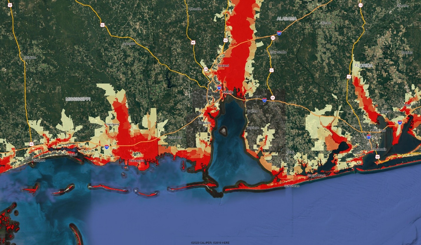
The AGS Storm Surge index uses the estimated area of each census block at one foot elevation intervals to estimate the relative risk of storm surge events. The map below on Google imagery shows the risk levels along the heavily populated coast between Gulfport MS and Pensacola FL. Dark red shading indicates 100% inundation from a 10 foot storm surge, with the lightest yellow indicating 10% inundation.
For further reading on storm surge, see the National Hurricane Center’s very useful introduction – https://www.nhc.noaa.gov/surge/surge_intro.pdf.

Recent Comments